Namibian soil information
Namibia’s soils, brought together.
A growing access point to Namibia’s legacy and newly developed soil information, bringing maps, profile data, modelled properties, literature, images and code together for discovery and download.
Explore the collection
Start with the type of information you need.
The site brings existing repositories and locally hosted material into one consistent research catalogue.
Maps & soil types
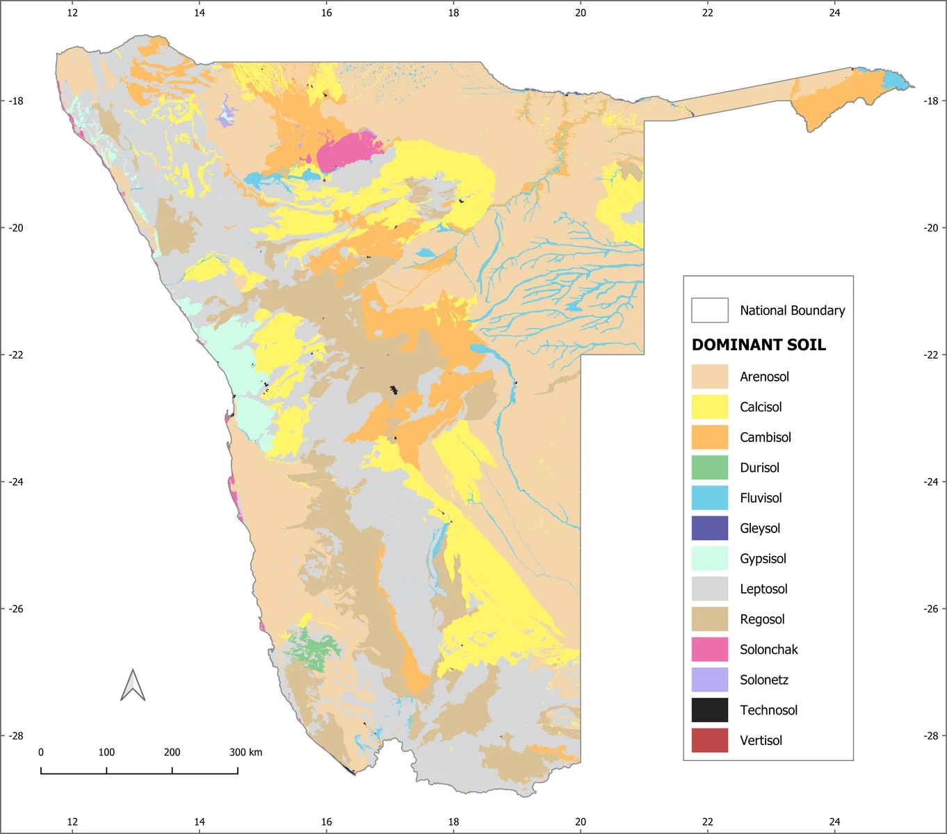
The new 1:250 000 national map, individual soil groups, terrain attributes and downloadable map products.
02Profiles & field data
Legacy observations and the new quality-controlled, format-standardised national soil profile database.
03Soil properties
Grid-based 90 m predictions and categorical distributions of physical and chemical soil properties.
04Literature & methods
Published and unpublished documents, analytical methods, bibliographies and modelling notes.
05GIS, code & source files
Raw data, shapefiles, GeoTIFFs, analytical documentation and original model code as files become available.
Resource search
Find a dataset, property or collection.
Search the legacy material and new datasets already indexed in this working version. More records and downloadable files will be added as source material arrives.
Spatial exploration
A map-led route into the data.
Browse the newly published national, reference-soil-group and terrain maps. Each web preview is paired with its unchanged full-resolution original.
Browse map resources